

Drones in Real Estate
Intense use of drones in marketing
Drones are remote or software-controlled robots used to collect and monitor data from the air. Drone technology captures real-time and 3D modeling data.
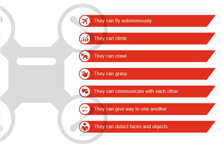
Drones are equipped with sensors, GPS or cameras and can be used for private as well as for commercial or military purposes. They are often used in high-risk areas or when a high degree of precision is obligatory. Depending on the field of application, drones differ in size, speed, endurance, pixel resolution and supplemental integrated sensors.
They expand on existing aerial photography and sensor data acquisition and help to improve decision making in different fields by delivering results to a smartphone or other system. The data collection is still mostly on-board. Real-time streaming is still challenging due to limited WiFi availability and limited battery management. The data collected by drones complements satellite and other data, but does not replace it.
The use of drone technology has also increased enormously in the real estate industry in recent years. The marketing process has been hit hardest so far. Digital and multi-perspective site visits are now possible. The investment decision can be supported by high-resolution 360° images and videos of the object and support the sales story emotionally.
In addition, the high-resolution images are used for technical due diligence analysis to identify potential risks or lead to a reduction in the purchase price. But even in site analysis, these data provide significant added value. High-quality analyzes of the micro-location can present the advantages and disadvantages of the property in an efficient and meaningful way and help with strategic forecasts on the interaction of the investment property with its sub-market.
In addition to reducing labor costs and being able to identify damage and risks with high precision, this technology brings many other benefits when combined with deep learning in computer vision. On the other hand, this technology is not yet fully developed. Hence, risks such as accidents and collisions, loss of control, hacker attacks or spyware must be identified and managed.
Future Impact
The application in the real estate industry has begun, but will not change much of it
83 percent of participants in the Real Estate Asset Manager Benchmarking Survey see property and facility management as the largest field of application for drone technology.
Another application, which is not entirely intuitive and still needs some development, but promises a lot of potential, is the construction sector. The daily monitoring of the construction progress and the early detection of safety risks and construction defects leads to significant time and cost savings. Combined with deep learning in computer vision for data analysis, drones can deliver significant business value.
Start-ups
- Fair Fleet
- Pix4D S.A.
- Betterview
- Dronebase
Fair Fleet
Build more efficiently, market more successfully and communicate better with contractors. Fairfleet is the first full service platform to provide professional drone services.
Pix4D S.A.
Pix4D is software for professional drone mapping, purely from pictures. The Pix4D software takes converted images from any camera into exact maps and models. Get accurate measurements and volume calculations, measure breaklines, create contour lines with direct access to quality results through detailed reports from the software.
Betterview
Betterview offers drone-based property inspections.
Dronebase
Dronebase provides fast, affordable, and reliable data from the air so customers can make better-informed, real-time decisions about their most critical assets.


Contact us